
Sub-seasonal weather forecast plays a major part in SAFERS platform as it supports the identification of potential wildfire risks and thus allows for early warnings. The data forecast of relevant variables for forest fire risk prediction is provided by the Finnish Meteorological Institute (FMI). The FMI is a research and service agency which performs advanced scientific research and provides a wide variety of information service relating to weather, climate, marine and air quality.
This data is collected from the European Center for Medium-range Weather Forecasts (ECMWF) via automated data streams. Model forecasts are post-processed and calibrated at FMI. The calibrated data are transferred to the SAFERS geodata repository in netCDF and/or GeoJSON format. FMI and ECMWF, together, they represent an automated processing chain ensuring the accessibility of the necessary weather forecast.
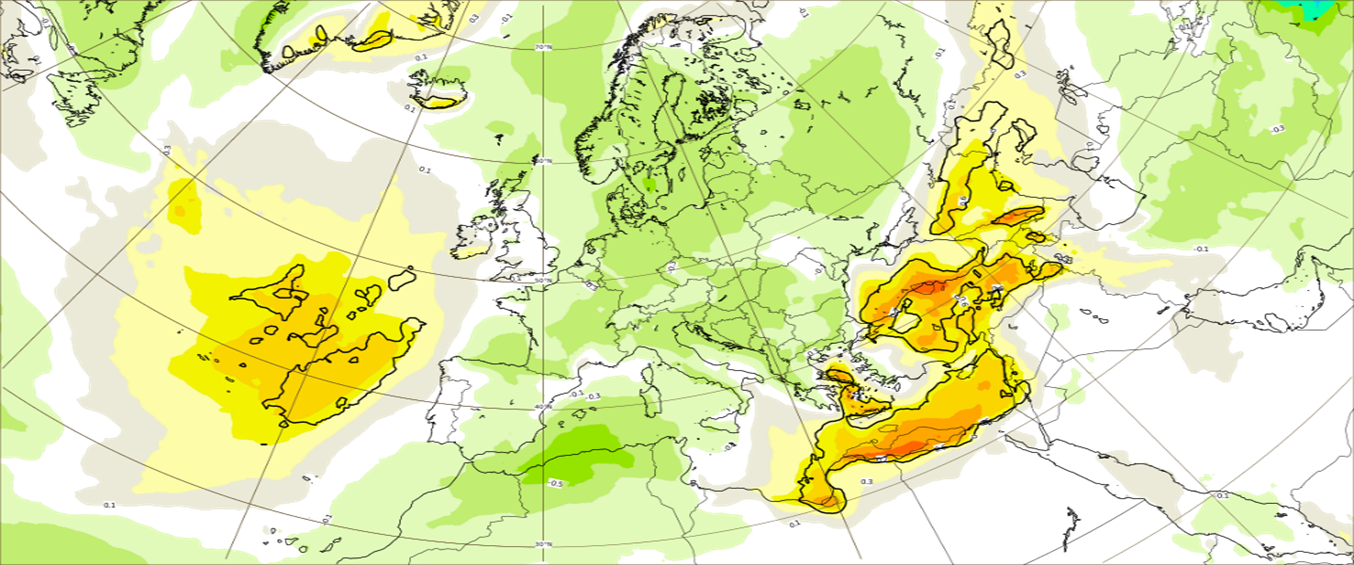
Figure 1 Display example of SAFERS Sub-seasonal weather forecast
High resolution deterministic forecast data with hourly forecasts up to T+72h lead time are provided by FMI four times a day. Medium range ensemble forecast for lead times of up to 15 days (360 hours) are provided twice a day. The temporal resolution of these forecasts is 3 hours for lead times up to 144 hours and 6 hours for lead times from 150 to 360 hours. Extended range/subseasonal ensemble forecasts with forecast lead times up to 46 days (1104h) have a temporal resolution of 6 hours and are provided twice a week. All data is post-processed and automatically uploaded to the SAFERS platform. Thanks to that, forecasts of relevant weather information for wildfires is provided at a temporal scale of 1 day to 46 days. This allows to have access to the list below:
- High spatial and temporal resolution weather maps
- Historical weather data
- Daily and historic Forest Fire Weather Index (FWI)
- Forecast dry storms (evolution, lighting, rainfall…)
- Assessing the impact of mid-long term droughts periods
- Forecast weather variables in an hourly basis (wild speed/direction, temperature, relative humidity)
To understand more about this intelligent service and its added value, an interview with Mr. Marko Laine, a Research Professor at the FMI, was conducted as follows:
Q: How are the sub-seasonal weather forecast services which are used in SAFERS different from other sub-seasonal forecasts?
Mr. Laine: SAFERS platform will utilize weather forecasts from short range (1–3 days) to sub-seasonal (up to 6 weeks) time scales. The raw forecast data from ECMWF (see the next question) are processed at Finnish Meteorological Institute. We are tailoring the forecast for the needs of wildfire management. We will implement advanced post-processing methods that increase the reliability of the forecasts. By comparing the forecasts to historical data, we can detect anomalous events well in advance. The use of probability forecasts will allow better evaluation of upcoming risks and help generating impact-based forecasts and early warnings for extreme weather.
Q: What are the information sources that feed into SAFERS sub-seasonal weather forecast?
Mr. Laine: SAFERS is using raw forecasts from European Centre for Medium-Range Weather Forecasts ECMWF, which is the joint European weather agency providing global forecasts to the member countries. To calculate anomalies against historical weather, we use EU Copernicus Climate Change Services. To post-process forecasts, for example by correcting systematic biases, forecasts are verified against WMO observation network maintained by the national agencies. Fire Weather forecasts are coming from EFFIS which is part of the EU Copernicus Emergency Management Service.
Q: Is there any challenges with the use of this intelligence service?
Mr. Laine: Weather forecasts are something that most people use daily. However, typical forecasts are given as seemingly accurate point forecast, hiding the inherent uncertainty. Delivering and visualising probability information about risks and uncertainties is challenging as people tend to interpret probability statements differently. On the other hand, operational emergency services prefer precise and compact information to base actions on. That means that weather forecasts must be stated in terms of impacts instead of the usual weather variables. The fire danger forecast is a good example of this.
To know more about the other intelligent services of SAFERS, check this page: SAFERS platform & services.