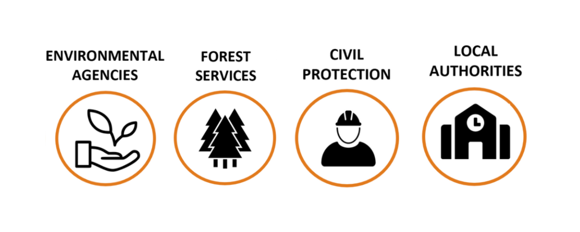
Targeted end-users
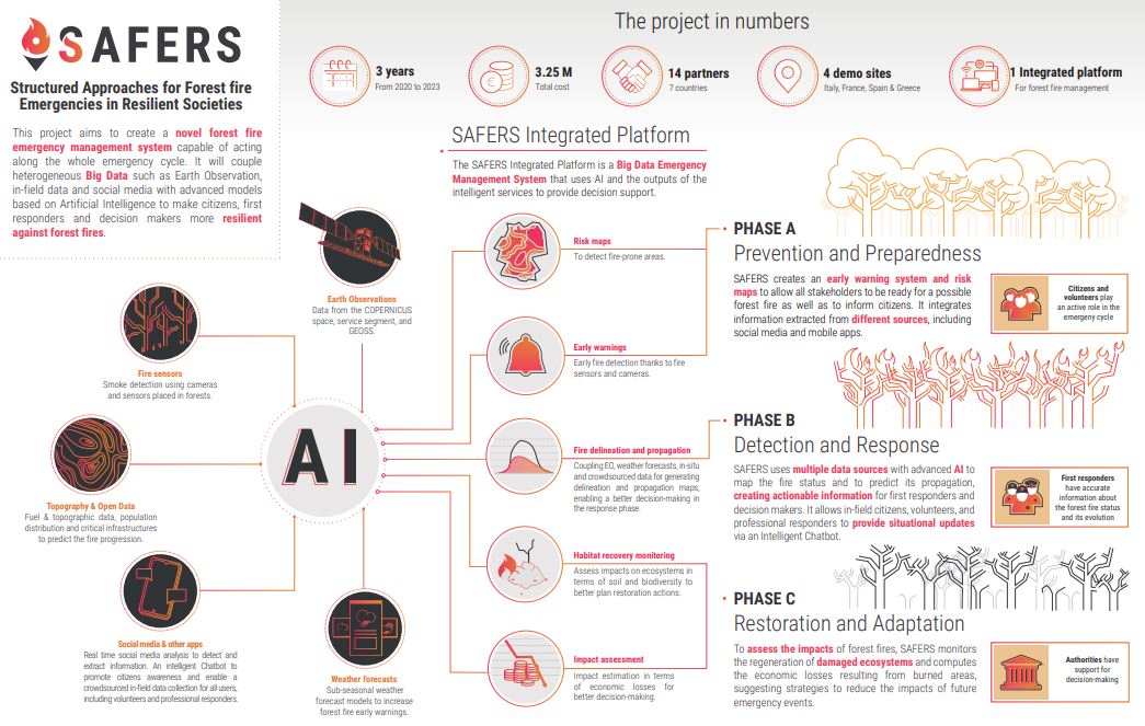
This SAFERS service aims to improve forest fire early warning and management operations using automated processes and a fusion of local data, weather forecasts, risk models, and high-resolution Earth observations, including Copernicus data and user contributions. Its aim is to optimize safety and operational efficiency by reducing the effects of forest fires.
Key features of the service include lightning forecasts to highlight areas at risk of fire, access to user-adjustable dynamic forest fire risk models, automatic creation of local maps providing fire risk information, and a toolbox to build scenarios for better dissemination and updating of early warnings.
This service aims to help local and regional stakeholders by providing up-to-date information, improving access to data, and integrating the latest forecasts, modelling, and user contributions into operational alerts for better decision-making in the event of forest fires.
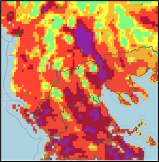
Wildfire management phase: prevention and preparedness; detection and response.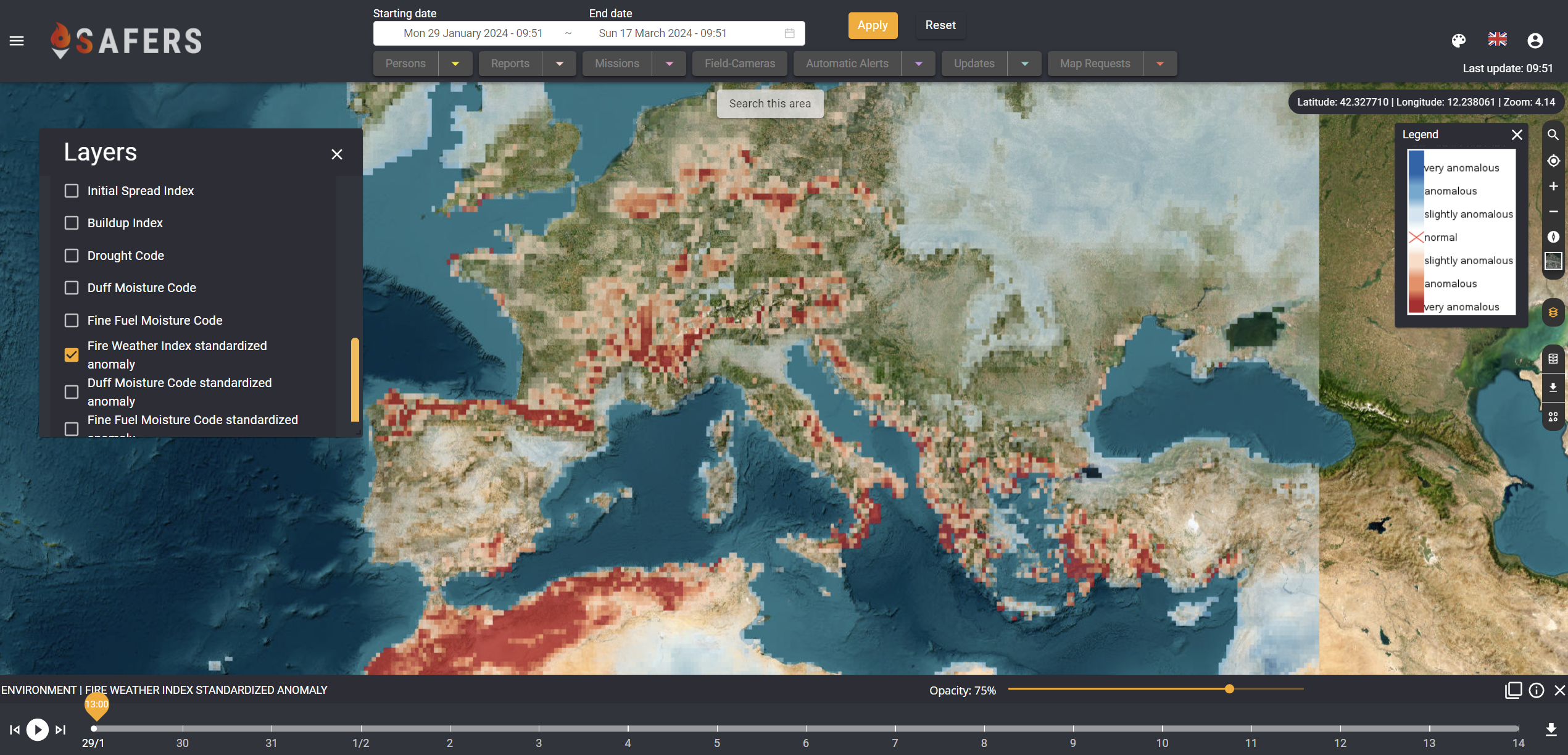 Forecasted Fire Weather Index anomalies