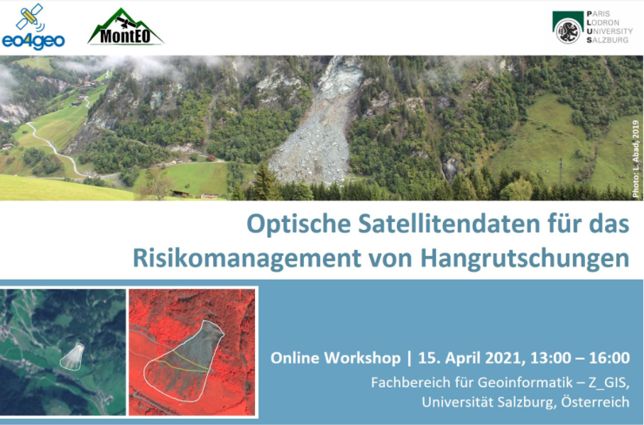
EO4GEO and the University of Salzburg are organising an online workshop to discuss the use of optical EO data for landslide risk management. Participants will become familiar with methods for mapping landslides in optical satellite images and with approaches for modelling landslide susceptibility. The interactive discussion will compare the quality of EO-derived landslide maps to the requirements from risk management. The workshop in German language addresses experts for landslides, infrastructure and risk management.